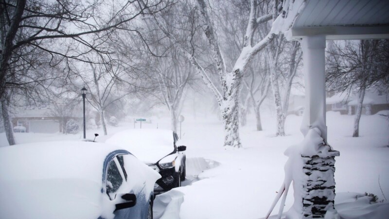
An arctic blast has brought extreme cold, heavy snow and intense wind across much of the U.S. — just in time for the holidays.
The weather system, dubbed a “bomb cyclone,” is disrupting travel and causing hazardous winter conditions. Where is this winter weather coming from, and what’s in store for the coming days?
What’s happening?
A front of cold air is moving down from the Arctic, sending temperatures plunging.
Much of the U.S. will see below-average temperatures, said Bob Oravec, lead forecaster for the National Weather Service in College Park, Maryland.
Temperatures may drop by more than 20 degrees Fahrenheit (11 degrees Celsius) in just a few hours, the National Weather Service predicts.
Wind chill temperatures could drop to dangerous lows far below zero — enough to cause frostbite within minutes. In parts of the Plains, the wind chill could dip as low as minus 70 degrees Fahrenheit (minus 57 Celsius).
Those in the Plains, the Upper Midwest and the Great Lakes were cautioned to expect blizzard conditions as heavy winds whip up the snow, according to the National Weather Service.
Who will be affected?
Pretty much everyone east of the Rockies — around two-thirds of the country — will see extreme weather, said Ryan Maue, a private meteorologist in the Atlanta area.
Though much of the West Coast will be shielded from the cold, the Arctic front is expected to pass east and south all the way through Florida.
Heavy snowfall and intense winds could be bad news for air travel, Oravec said.
And for those planning to hit the road for the holidays, “you’re going to have pretty serious whiteout conditions,” Maue cautioned.
How long will it last?
This weather system is expected to bring some major “weather whiplash,” said Judah Cohen, a winter storm expert for Atmospheric Environmental Research.
The cold isn’t going to stick around for long. After the dramatic plunge that will keep temperatures low for about a week, “everything will snap back to normal,” Cohen said.
Shortly after Christmas, temperatures are expected to start to warm up again, moving from west to east. They are likely to remain near normal through the end of the year in most of the U.S.
Why is this happening?
It all started farther north, as frigid air collected over the snow-covered ground in the Arctic, Maue said.
Then the jet stream — wobbling air currents in the middle and upper parts of the atmosphere — began pushing this cold pool down into the U.S.
As this arctic air is pushed into the warmer, moister air ahead of it, the system can quickly develop into serious weather — including what’s known as a “bomb cyclone,” a fast-developing storm in which atmospheric pressure falls very quickly over 24 hours.
These severe weather events usually form over bodies of water, which have lots of warmth and moisture to feed the storm, Maue said. But with the huge amount of cold air coming through, we could see a rare bomb cyclone forming over land.
Is this normal?
The storm is a strong one, but “not unheard of for the winter seasons,” Oravec said.
It’s pretty normal to have cold air build up in the winter. This week, though, shifts in the jet stream have pushed the air more to the southeast than usual, Oravec said — sweeping the freeze across the country and making storm conditions more intense.
The U.S. probably won’t reach record-breaking lows, like those seen in the cold snap of 1983 or the polar vortex of 2014, Maue said.
Still, “for most people alive, this will be a memorable, top-10 extreme cold event,” Maue said.
